
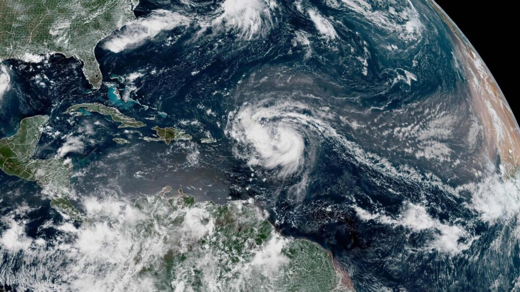
A recent video recorded by the 53rd Weather Reconnaissance Squadron during a mission into Hurricane Erin has drawn attention globally. The footage showcases Erin’s “stadium effect,” a meteorological phenomenon where towering clouds form a striking arena-like shape in the sky. The video also clearly depicts the eye of the storm, contrasting the calm center with the surrounding turbulence.
Hurricane Erin rapidly intensified from a Category 1 to a Category 5 hurricane within a mere 24 hours, later slightly weakening to a Category 4 status. At its peak, the storm’s center was located approximately 235 kilometers northeast of San Juan, Puerto Rico. Meteorologists believe Erin will likely remain off the US coastline but caution that it may still generate hazardous waves and erosion in areas such as North Carolina.
The ongoing Atlantic hurricane season, which runs from June through late November, is anticipated to be more intense than usual, according to US meteorologists.
- Why it matters:
– Enhanced forecasting from missions like this can help communities prepare for severe weather, potentially reducing risk and damage.
– Business sectors, especially in coastal regions, may need to tighten disaster preparedness plans due to increased hurricane activity. - The latest:
– Hurricane Erin has recently downgraded from Category 5 to Category 4 status.
Source: https://www.livemint.com/news/us-news/breathtaking-stadium-effect-seen-inside-hurricane-erin-viral-video-11755393622906.html
Source: https://www.livemint.com/news/us-news/breathtaking-stadium-effect-seen-inside-hurricane-erin-viral-video-11755393622906.html