
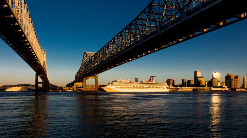
An August 26, 2025, TikTok video showcasing a large cargo ship floating above a New Orleans street has gone viral, amassing over 15 million views on social media platform X. The video illustrates a woman standing on a neighborhood street, depicting the ship gliding past a flood wall, creating an optical illusion that it is navigating through residential areas.
This visual has drawn attention to New Orleans’ unique geographic and infrastructural challenges. The city is situated below sea level due to its historical location along the Mississippi River, with elements like man-made levees and drainage canals contributing to land subsidence. By the early 2000s, some neighborhoods were documented to be as much as 10 feet under sea level, a factor that exacerbated the flooding during Hurricane Katrina in 2005.
Hurricane Katrina led to catastrophic flooding, with 80% of the city submerged, resulting in significant infrastructure damage and loss of life. Since then, billions of dollars have been spent to strengthen levees and flood walls. Experts now emphasize the importance of advanced storm surge forecasting in minimizing future risks to the city.
- Why it matters:
- Understanding New Orleans’ geographic vulnerabilities can help residents and businesses prepare for future storms.
- Increased investment in storm mitigation efforts reflects a growing recognition of the city’s flooding risks.
- The latest:
- Improvements to the city’s flood protection systems have made them stronger than they were in 2005, although risks remain.
Source: https://www.livenowfox.com/news/new-orleans-viral-ship-video-flood-risk
Source: https://www.livenowfox.com/news/new-orleans-viral-ship-video-flood-risk