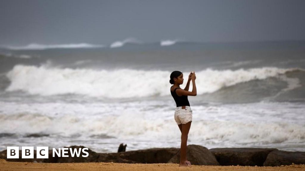
Hurricane Erin has intensified to a Category 4 storm, posing significant risks of hazardous surf and rip currents along the eastern coast of the United States. The storm’s rainfall has begun to impact the southeastern Bahamas and the Turks and Caicos Islands, where a tropical storm warning has been issued. Although Erin is not projected to make landfall on these islands, rainfall amounts could reach up to six inches (15.2 cm) in certain areas.
This hurricane, notable as the first of the 2025 Atlantic season, initially reached Category 5 status before temporarily weakening and then regaining strength. In Puerto Rico, high winds associated with Erin led to widespread power outages affecting over 150,000 residents. Fortunately, local energy company Luma reported that emergency repairs restored electricity to 95% of its customers by Sunday evening.
The National Hurricane Center (NHC) noted that Erin’s outer rain bands have begun to affect the Bahamas, prompting the Disaster Risk Management Authority to advise residents to prepare for potential impacts. Managing Director Aarone Sargent highlighted the unpredictability of hurricanes, stressing the importance of knowing nearby shelters and alternatives.
Currently, the NHC anticipates that Erin will move east of the southeastern Bahamas and travel between Bermuda and the eastern United States by midweek. They have classified Erin as a “large and dangerous hurricane” during this period. The Outer Banks of North Carolina are already experiencing preparations for heavy surf and strong winds, with authorities mandating the evacuation of Hatteras Island due to the risk of the main access highway becoming impassable. Forecasters have also alerted that dangerous rip tides may impact the entire U.S. East Coast.
Source: https://www.bbc.com/news/articles/c3r41zeqnexo?at_medium=RSS&at_campaign=rss

